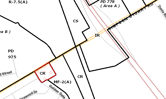
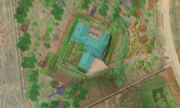
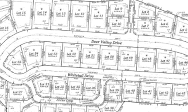
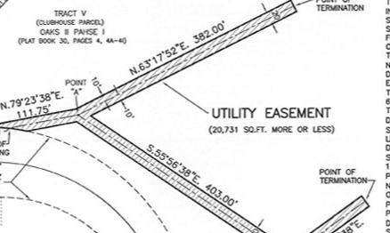
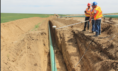
Topographic surveys are a graphic depiction and visualization of the topography of a piece of property. This is done by gathering geospatial data and generating a 3D model as well as a contour map of the site being surveyed. Topographic surveys are typically produced for engineers to design site plans for a development. This type of survey depicts the man-made and natural features of a site as well as showing the changes in elevation of the terrain. Features shown typically include buildings, sidewalks, roadways and visible above ground utility appurtenances such as water valves and meters, storm sewer manholes, wastewater manholes and electric poles and lines. Topographic surveys can also be performed to obtain volume data on features such as spoil piles of various material.